Geopro
Login

Cadastral Surveys

Boundary Surveys

  • Confirmation of beacons
  • Property identification certificates
  • Beacon certificates
  • Boundary dispute resolutions

Farm Properties

  • Establish new boundaries for estate planning
  • Resolve undivided shares in farm land
  • Consolidation of properties / title deeds
  • Subdivision of properties

Urban Properties

  • Subdivision of erven
  • Consolidation of erven
  • Property development
  • Encroachment investigation and resolution
  • Setting out of new buildings

Servitude Surveys

  • Servitude investigations
  • Securing of real rights
  • Right of Way establishment and investigation

Township Establishments

  • Title deed investigation
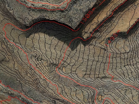
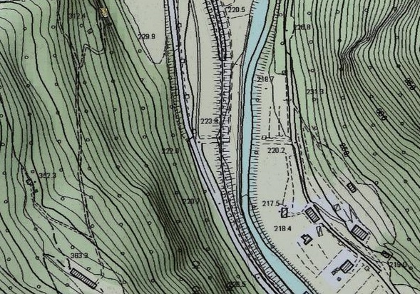
  • Contour survey
  • Layout planning
  • Pegging of stands
  • Surveyor General approval

Sectional Title Schemes

  • Setting out of buildings
  • Sectional Surveys
  • Sectional Plans
  • Real Rights
  • Consultation

Aerial Surveying

Lidar Surveys

(Laser Imaging, Detection And Ranging) is performed by capturing reflected laser beams. It provides better canopy and vegetation penetration than traditional photogrammetry. Depending on circumstances Lidar surveys can be performed by UAV or conventional aircraft.

Lidar surveys are mostly performed in conjuction with photogrammetry to provide our clients with a high quality product.

Photogrammetry

Photogrammetry is the process of retrieving an accurate Digital Surface Model (DSM) from stereo images. Classification algorithms is then applied to calculate Digital Terrain Models (DTM) where human-made structures and vegetation is removed. The DTM is then used for contour plans.

Orthophotos

An orthophoto is geometrically corrected such that the scale is uniform in the photo by removing lens, camera angle and height distortions. It can be used to measure true distances in the same manner as a map.

We can produce orthophotos of any area or size to the scale of your choice

Contour and Volumetric surveys

Different tools such as Precise levelling, Total Stations, RTK GNSS Systems, Lidar and Photogrammetry are used to provide accurate results.

3D modelling

Different techniques such as laser scanning and photogrammetry is used to create point clouds in 3-dimensions. The point cloud is then processed to form a digital representation of the object.

Mining

Stockpiles

Volumetric Surveys of Stock Piles

Auditing Surveys

Recurring surveys for Department of Mineral Resource compliance

Mining License Plans

We produce plans for mining license and prospecting right applications

Engineering and Architectural

Topographical

A topographical survey is an accurate depiction of site detail to show all the natural and manmade features and their levels.

Strip Surveys

Surveys for Engineering of Roads, Pipelines, Powerlines and Water courses

Setting out

Setting out of Buildings, Services, Columns, Levels

Sport fields

Design

Layout of sport fields according to international sporting codes

Sport Field Markings

Setting out of sport field sizes, lines and markings to international standards

Earth Works

Calculation of optimal cut and fill levels and monitor layer works

Physical Terrain Models

Terrain models

We create scale physical terrain models that can be used for display and planning purposes.